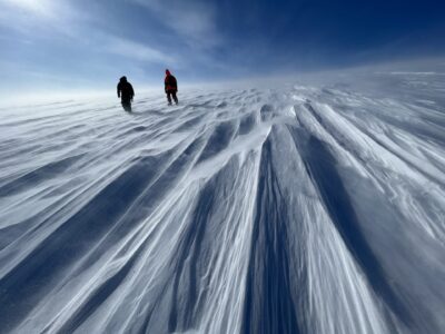
Our mission was to collect some long survey lines down the center of some of Greenland’s most spectacular southeastern glaciers. The study design would require us to complete a transect across the Greenland ice sheet, fortunately at a location when the country undergoes a noticeable taper. Starting at Kangerlussuaq, our base on Greenland’s west coast, we flew across to the Kangerdlugssuaq Glacier on Greenland’s east coast (we too have trouble with all the Kanger’s in Greenland)! Kangerdlugssuaq Glacier is a major contributor of ice into the ocean. Together with Jakobshavn it drains an estimated ten percent of the Greenland Ice Sheet into the ocean. We will focus on several other southeastern outlet glaciers as well, collecting flight lines on Helheim and Midgard, both extremely important, Fenris and Steenstrup, and others in the vicinity.

Extending the survey lines mid-center in the glaciers will allow us to collect gravity and magnetics data to assist in detecting the presence of bedrock sills under the ice. Sills are common in fjords, forming a shallow lip near the glacier outlet to the ocean, where it creates a basin. The presence of a sill limits the flow of ice out of the fjord. Locating any sills that exist in these draining glaciers is important for the modeling that is such a key part of our scientific understanding of the polar regions and their response to climate.

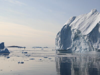
Our flight today is slow and low flying, so that we can collect good gravity numbers, and somewhat surreal. As we cruise we move in radio silence to avoid interference with our instruments; at a 600 foot elevation, we are a full hundred feet lower than some of the icebergs in the fjords around us! We are somewhat like a large bird taking stock of our surroundings as we soar through the terrain.


