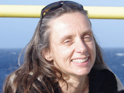
After 31 years at Lamont, oceanographer Kim Kastens is leaving for a position as distinguished scholar and principal scientist at the Education Development Center near Boston. She was recently described at her send-off at Lamont as a trailblazer with a resume of “firsts” – first woman co-chief scientist on the JOIDES Resolution, first woman faculty member to join Columbia’s geology department, founder of Columbia’s joint journalism and environmental science master’s program and a pioneer in the field of geoscience education research.

Robin Bell, now a senior scientist at Lamont, met Kastens in the 1980s while working as a technician on a U.S. Geological Survey cruise. “Wow, was she dynamite,” Bell wrote in a statement read at the celebration last week. “Here was a woman who demanded the respect of all the engineers and scientists on the ship with the depth of her knowledge, her insights on how things work and ability to quickly understand complex systems. Kim has carried that energy and intensity forward with everything I have seen her touch since.”
“Finding there was no option to work part time or even take maternity leave when she found that she was pregnant and Holly was on her way, instead of whining, Kim took on the problem head on. By the time our second children Dana and Beryl arrived, Kim had made the system change and pushed through a parental leave of absence arrangement for Officers of Research throughout Columbia and a stop-the-clock provision for senior staff promotion within Lamont.

“When she learned that there was nifty new technology that could really measure plate motions she got one of the first GPS projects funded putting GPS instruments out to measure plate motion. Mind you these GPS sets cost $120,000 each and were the size of large roller bag without the wheels, weigh a ridiculous amount and needed car batteries to run through the night. Oh, right, the GPS satellites were only visible for part of the day. I was one of those lucky post-docs who got to sit atop mountains in the dark waiting for the couple of GPS satellite available to come up over the horizon then manually enter the orbital information on a telephone like interface…. Yes it may have been Greece but somehow the satellite all came up at night. Kim had everything so organized that there were files on each GPS monument with all the appropriate information down to which hotel would let you bring in car batteries to charge and where there was good food. It was a giant game of capture the flag across an entire plate boundary. Kim was the master of it all.


