Holidays vary around the world with their dates and traditions, so it should have come as no surprise that we would find a holiday in our scheduled Greenland visit. Today, April 26, is “Store Bededag,” which translates as “Great Prayer Day,” brought by the Danish to Greenland when they ventured to this island from their homeland. Kangerlussuaq, and other populated areas of Greenland, are a mix of Danish and Greenlandic in people, language, food and tradition. The holiday does not stop our survey flights today, but a snow storm with low-visibility has brought us to the ground. In the end it is a good day to focus on data.
Prior to today we have completed several flights, each with a tightly designed purpose, and there is plenty of data to be gone through. With our newly designed system, each instrument must be tested individually for operational capability and range, and then assessed for the enhancement that comes from aligning the results with the data from the other instrumentation. Calibration runs are also required for some of the instruments. In the end, each flight ends with a stack of data disks which need to be reviewed in detail.

Each flight has a list of priorities designed around specific target locations and weather availability. Yesterday our target instruments were the visible and infrared cameras, the laser system and the deep ice radar system. For the two cameras we would fly down Sondrestrom Fjord building a set of matching images.

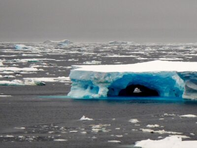
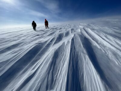
The Bobcat, our visible image camera, showed a wide swath of surface imagery, noting where fast moving ice had crumpled into bands of ridges, as well as where it had thinned, cracked, and showed evidence of refrozen melt water streams.
The Infrared Camera operates at a higher frame capture than the Bobcat, and collects temperature differences from the places where the ice has thinned or opened. The colder the surface, the blacker the infrared image; warmer surfaces show as white. The tongue of the fjord is an excellent testing area for this.

The Deep Ice Radar was being fine-tuned on this flight. Following the first Greenland test flight, the system was adjusted and the team was anxious to see the results. We headed up Russell Glacier to get to enough ice depth to receive the radar returns, but with the weather worsening and the winds kicking up, we didn’t go any further than needed.


The LIDAR (Laser Imaging Detection And Ranging) testing was our last test of the day. Designed to give us surface elevation, with repeat use it can show change in ice surface elevation over time. In order to show small change in ice elevation, a very tight accuracy is needed, on the order of 10 cms. The LIDAR calibration was designed as a gridded pattern of 4 by 4 lines flown at 170 knots of air speed. Calibration flights can be bumpy and twisty, as the plane will roll with the turns needed to create the pattern. The 20-knot headwinds cause some additional turbulence, but the full eight passes are completed before a return to the airfield.
For more on Icepod: http://www.ldeo.columbia.edu/icepod


