Natural Disasters
-
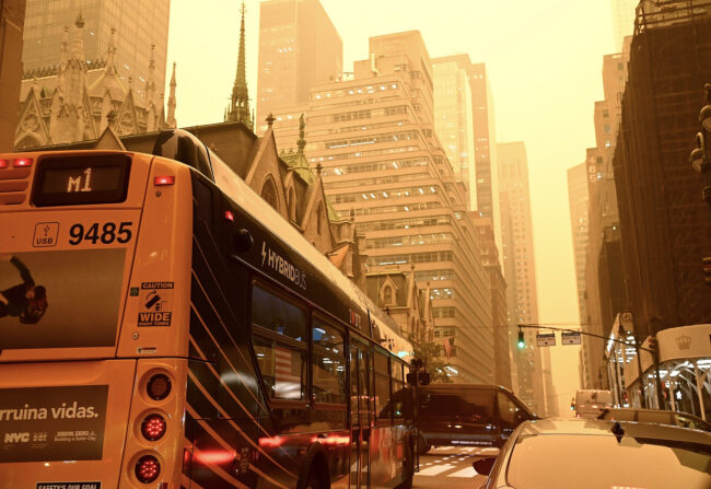
What NYC Got Right During the Wildfire Smoke Emergency, According to an Expert
Atmospheric chemist V. Faye McNeill explains our new, smoky normal—and how to stay safe.
-
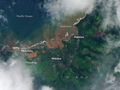
Hawaii’s Compounding Climate Crisis Exposes Systemic Failures
Hawaii’s March 2026 flooding exposed more than damaged roads and homes. True recovery must prioritize local needs and long-term preparedness.
-
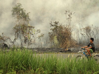
Wildfire Smoke Returns: What to Know About This Week’s Air Quality
Air pollution expert Dan Westervelt discusses this summer’s wildfires and resulting air quality in New York City and beyond.
-
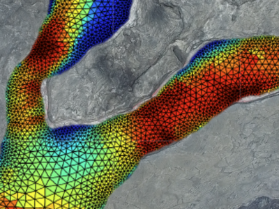
Study Reveals How Gas Bubbles Shaped Kīlauea’s 2018 Lava Flow
New research shows that gas bubbles played a central role in controlling how fast and far the lava traveled, and that lava flow models need to account for bubbles to more accurately forecast where lava will stop.
-
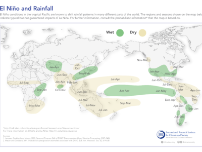
Climate Models Show El Niño Is Rapidly Strengthening
The World Meteorological Organization says a strong El Niño could drive extreme weather in many regions.
-
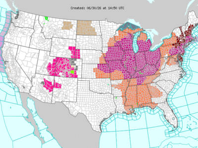
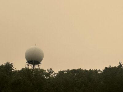
Extreme Heat Is Here: What Columbia Climate School Experts Want You to Know
As a dangerous early-summer heat wave covers swaths of the globe, Columbia Climate School experts discuss the impacts of extreme heat.
-
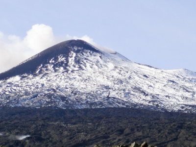
Carbon Dioxide and Water Played Key Roles in Historic Mount Etna Eruptions
Understanding these dynamics can help geologists assess the risk of future eruptions.
-
You Asked: What Exactly Is a ‘Super’ El Niño?
Columbia Climate School experts explain what a strong El Niño could mean for the planet this year.
-
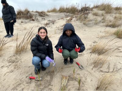
Can Coney Island’s Dunes Protect Against Another Sandy?
The Coney Island Creek dune planting project started in 2021, with the goal of increasing coastal resilience and giving community members hands-on experience protecting their environment.


You Asked invites you to share your most pressing questions about climate, science, and sustainability. Lamont-Doherty Earth Observatory and Columbia Climate School experts will respond with clear, evidence-based answers. Pose your questions and story ideas!
