Geohazards in Bangladesh
-
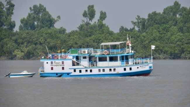
Sailing Around the Bangladesh Coastal Zone
The future sustainability of the delta depends on the balance of sea level rise, the subsidence of the land, and the deposition of sediments that can help maintain the land.
-
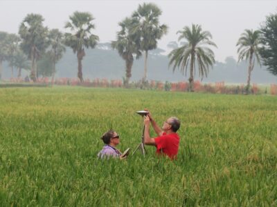
Driving Around the Bangladesh Coastal Zone
Mike Steckler travels around the coastal zone of the world’s largest delta in Bangladesh to repair GNSS (GPS) instruments.
-
Continuing on to Comilla, Dhaka and the Coast
After finishing fixing their global navigation satellite system equipment in Sylhet, Mike Steckler and his team traveled south to repair more stations in Comilla, then to Dhaka and the coast.
-
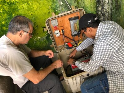
Repairing Global Navigation Satellite Systems in the Land of Tea
Mike Steckler is back in Sylhet, Bangladesh, to repair GNSS stations that are monitoring tectonics and earthquake hazards, and measuring the sinking of the land in the world’s biggest delta.
-

Mangroves, Tigers and Shopping
The last part of our trip was a whirlwind of seeing multiple sites in the Sundarbans mangrove forest and its wildlife, more interviews with villagers, historic and cultural sites and shopping, followed by tearful goodbyes.
-

Poets and Polders
Continuing on our journey, we visited the shrine and former home of Bangladeshi cultural icons, continued our interviews, and boarded a boat to take us to the embanked islands known as polders.
-

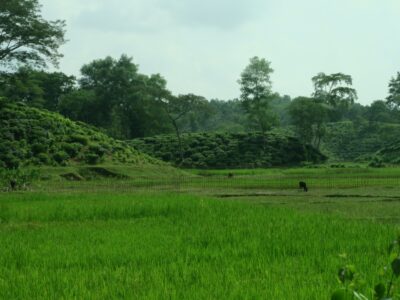
A Special Trip to Bangladesh
In Bangladesh, a large and growing population lives in one of the most dynamic and sensitive environments on Earth, subject to multiple natural disasters and threatened by climate change.
-

Finding an Undocumented Earthquake That Moved a River
Researchers offer a behind-the-scenes look at their recent discovery of an earthquake that shifted the course of the Ganges.
-

An Earthquake Changed the Course of the Ganges. Could It Happen Again?
2,500 years ago, an earthquake changed the course of the mighty Ganges River, a new study shows. The region remains vulnerable to a similar event now.


You Asked invites you to share your most pressing questions about climate, science, and sustainability. Lamont-Doherty Earth Observatory and Columbia Climate School experts will respond with clear, evidence-based answers. Pose your questions and story ideas!
