State of the Planet

News from the Columbia Climate School

Earthquakes10

  • Ancient Faults & Water Are Sparking Earthquakes Off Alaska

    Ancient Faults & Water Are Sparking Earthquakes Off Alaska

    Ancient faults that formed in the ocean floor millions of years ago are feeding earthquakes today along stretches of the Alaska Peninsula, and likely elsewhere, a new study suggests.

  • Last Sample and Home

    Last Sample and Home

    We finished our work at the river transect. Now we had one more sample to collect. Alamgir had arranged for drillers at this new site, but they were delayed because of a knife fight between two villages over some property.

  • OSL Samples at Last

    OSL Samples at Last

    The success of the tube wells for drilling and obtaining samples was a great boon to our field program. We drilled three additional tube wells to complete a five-well transect across the abandoned river valley. When we date the samples, we will find out if the river switched position suddenly, possibly from an earthquake.

  • Tubewells to the Rescue

    Tubewells to the Rescue

    The resistivity testing was hampered by bad roads and flooded fields. The augering was proving similarly difficult in the thick muds of the abandoned channel. It was time to change to our alternative plan: drilling with tube wells. That worked better and we had turned a corner.

  • Pani, Pani Everywhere

    Pani, Pani Everywhere

    Heading out to our field area, we discovered that the abandoned river valley we planned to study was completely flooded. There was pani—the Bangla word for water—everywhere.

  • Bangladesh and India, Too

    Bangladesh and India, Too

    Returning to Bangladesh for additional fieldwork, I stopped off in India for several meetings, but we found time for some sightseeing, too. We were able to see the Qutub Minar complex in Delhi as well as the Taj Mahal and Agra Fort in Agra. Plus all the meetings in Delhi, Kolkata and Dhaka were very…

  • Mapping Tool Lets Users Pinpoint Hazards Data

    Mapping Tool Lets Users Pinpoint Hazards Data

    The SEDAC Hazards Mapper is designed for disaster risk managers, humanitarian response organizations, public health professionals, journalists and others needing a quick assessment of the potential dangers posed by a major hazardous event or developing emergency.

  • Indian Sundarban

    Indian Sundarban

    We arrived in Kolkata, and filmed by the Hooghly River. While it is no longer the main channel of the Ganges, it is still the Holy Ganges and we saw a funeral procession spreading ashes of a loved one while filming there. Then a 5 hour trip by car, ferry, rickshaw and boat to the…

  • Mapping Faults Hidden below Lake Malawi

    Mapping Faults Hidden below Lake Malawi

    Marine seismic studies like ours are routinely done in the oceans using scientific equipment and research vessels outfitted specially for these purposes. Collecting comparable data in a great lake in Africa requires creative repurposing of available vessels and adaption of scientific equipment.

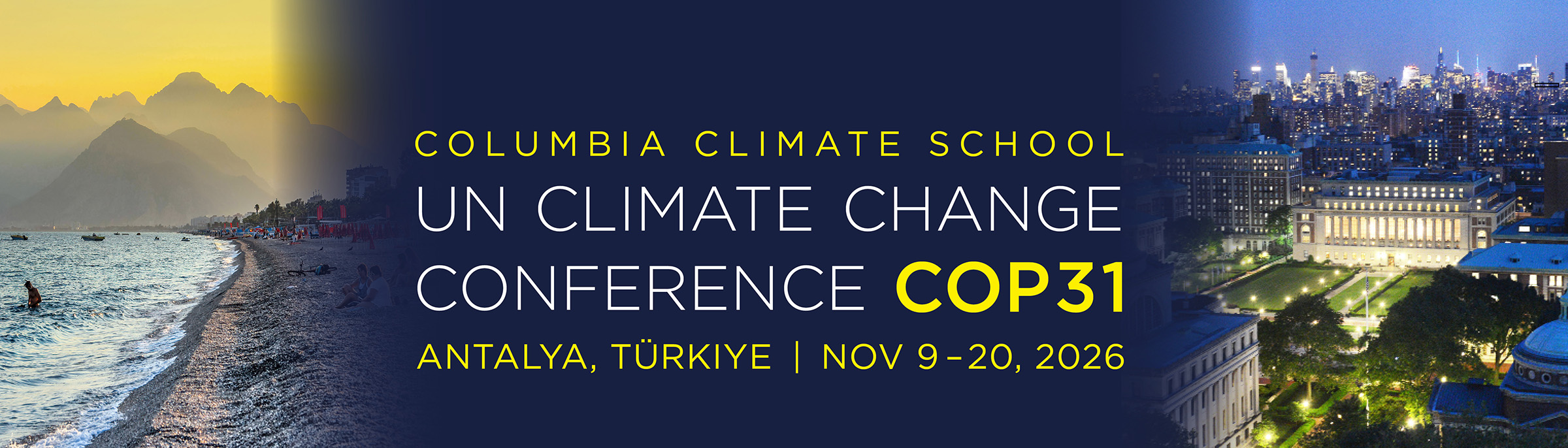
Collage of Turkiye beach scene and Columbia University Campus with text: UN Climate Change Conference COP31, Antalya, Turkiye, Nov 9-20, 2026

COP31, the 2026 United Nations Climate Change Conference, aims to advance dialogue, strengthen consensus, and accelerate climate action on a global scale. From November 9–20, 2026 in Antalya, Türkiye, heads of state, ministers, scientists, business leaders, and civil society will gather to advance efforts in emission targets, climate finance, and adaptation and resilience. Once again, our experts, students, and global thought leaders from Columbia Climate School and across Columbia University are contributing to key events, sharing insights, and helping shape the dialogue toward ambitious, science-based solutions. Learn More

  • Ancient Faults & Water Are Sparking Earthquakes Off Alaska

    Ancient Faults & Water Are Sparking Earthquakes Off Alaska

    Ancient faults that formed in the ocean floor millions of years ago are feeding earthquakes today along stretches of the Alaska Peninsula, and likely elsewhere, a new study suggests.

  • Last Sample and Home

    Last Sample and Home

    We finished our work at the river transect. Now we had one more sample to collect. Alamgir had arranged for drillers at this new site, but they were delayed because of a knife fight between two villages over some property.

  • OSL Samples at Last

    OSL Samples at Last

    The success of the tube wells for drilling and obtaining samples was a great boon to our field program. We drilled three additional tube wells to complete a five-well transect across the abandoned river valley. When we date the samples, we will find out if the river switched position suddenly, possibly from an earthquake.

  • Tubewells to the Rescue

    Tubewells to the Rescue

    The resistivity testing was hampered by bad roads and flooded fields. The augering was proving similarly difficult in the thick muds of the abandoned channel. It was time to change to our alternative plan: drilling with tube wells. That worked better and we had turned a corner.

  • Pani, Pani Everywhere

    Pani, Pani Everywhere

    Heading out to our field area, we discovered that the abandoned river valley we planned to study was completely flooded. There was pani—the Bangla word for water—everywhere.

  • Bangladesh and India, Too

    Bangladesh and India, Too

    Returning to Bangladesh for additional fieldwork, I stopped off in India for several meetings, but we found time for some sightseeing, too. We were able to see the Qutub Minar complex in Delhi as well as the Taj Mahal and Agra Fort in Agra. Plus all the meetings in Delhi, Kolkata and Dhaka were very…

  • Mapping Tool Lets Users Pinpoint Hazards Data

    Mapping Tool Lets Users Pinpoint Hazards Data

    The SEDAC Hazards Mapper is designed for disaster risk managers, humanitarian response organizations, public health professionals, journalists and others needing a quick assessment of the potential dangers posed by a major hazardous event or developing emergency.

  • Indian Sundarban

    Indian Sundarban

    We arrived in Kolkata, and filmed by the Hooghly River. While it is no longer the main channel of the Ganges, it is still the Holy Ganges and we saw a funeral procession spreading ashes of a loved one while filming there. Then a 5 hour trip by car, ferry, rickshaw and boat to the…

  • Mapping Faults Hidden below Lake Malawi

    Mapping Faults Hidden below Lake Malawi

    Marine seismic studies like ours are routinely done in the oceans using scientific equipment and research vessels outfitted specially for these purposes. Collecting comparable data in a great lake in Africa requires creative repurposing of available vessels and adaption of scientific equipment.