 Scientists have been sailing off the coast of Haiti to assess the recent earthquake there, and the potential for more. The cruise is now complete; here is the final update, from reports by chief scientist Cecilia McHugh of Lamont-Doherty Earth Observatory and others.
(Read the full story of the project, involving the Earth Institute and other major institutions.)
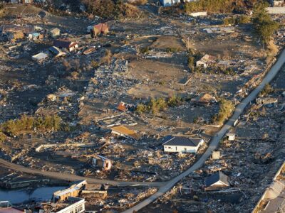
The great January earthquake in Haiti was accompanied by a small tsunami that killed a half-dozen people along the coast west of Port-au-Prince–an event little reported at the time, but significant. The question is: what caused this wave, and could something comparable, or bigger hit next time?
To find out, the science team removed cores of shallow sediments from the bottom near where the tsunami hit. One core (left) shows three distinct disturbances in the sediments–possible signs of underwater landslides along the steep slopes of a river delta. Paul Mann, a geologist at the University of Texas, Austin, told NPR that it looks like during the shaking, the underwater delta underwent “lateral spread”–sending an avalanche of loose mud tumbling into deeper water and causing the wave. Further analysis at the core laboratory at Lamont-Doherty Earth Observatory will help confirm if this is the case, and whether (as the multiple disturbances suggest) such events have taken place in the past–often a good guide to the future.
In addition to pulling the sediment cores, the team clearly imaged the main earthquake fault, which shows up as one or two ridges across the nearshore ocean floor.
In coming week, the team will be studying the data. Stay tuned for more results.


