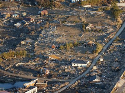
In 1999, an earthquake along the North Anatolian fault killed some 30,000 people in western Turkey. There is some evidence that another segment closer to the densely populated city of Istanbul could be next to rupture, which could create worse devastation. A team of Turkish, American and French scientists are on a Turkish research ship in the Sea of Marmara to image the faults and its overlying sediments to better assess the risk. Donna Shillington, a seismologist at Lamont-Doherty Earth Observatory, has filed an update from aboard R/V K. Piri Reis.
For about 50 years, earthquakes have been propagating westward along the 900-mile-long North Anatolian fault. Quakes are caused by two tectonic plates sliding past one another, much as they do along California’s San Andreas fault.

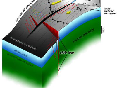
The historic pattern suggests that the next quake should strike just south of Istanbul, beneath the Sea of Marmara. Here, the North Anatolian fault splinters into multiple fault strands, which created the depression that houses the present-day sea. The size of the next earthquake and its impact on Istanbul will be controlled by the deep geometries of these faults and the way that plate motions are divvied up between them, both of which remain controversial. This is comparable to the situation near Haiti, where multiple fault strands are accounting for motion between tectonic plates in this part of the Caribbean.
In July 2008, scientists from the U.S. and Turkey, including three researchers from Lamont, collected high-resolution seismic data in the Sea of Marmara aboard the Turkish research ship, the R/V K. Piri Reis, to map out the geology below the seafloor. Seismic reflection data are like sonograms of the earth that provide images of underground faults and sediments. Sediments record movement on faults through geologic time, telling us how and when different faults moved. To collect these images, we create sound waves by generating sharp pulses of compressed air. These sound waves travel through the earth and return to the surface, where we record them with small pressure sensors towed behind the ship on a long cable.

But heavy ship traffic prevented us from collecting data close to Istanbul during this cruise, which is expected to be the location of the next earthquake. We returned to Marmara for a 3-day cruise to fill in this critical gap.
The logistics of marine research cruises are notoriously unstable. Schedules change, port calls change, and conditions at sea almost always require changes to the most painstakingly made scientific plans. The timing for our short cruise depended on previous programs, so we received very short notice. I booked my flight to Istanbul the day before departure. Twenty hours after leaving my apartment in New York City, a small boat whisked me and a Turkish colleague from the Atakoy marina to the R/V K. Piri Reis. And five hours later, we were underway and collecting new data. Ship time is precious and expensive, so data collection happens around the clock, requiring the scientists and ship crew to alternate shifts. After four hours sleep, I started my midnight-to-noon shift fueled by Turkish chai tea.
A major challenge of our program was to collect data in the Marmara Sea close to Istanbul, where there is a very busy shipping lane traveled by container ships, high-speed ferries, and other vessels. Anchored ships are another obstacle. During our previous cruise, the ship’s captain and crew were understandably reluctant to drive across the busy corridor towing thousands of feet of expensive equipment.

This time we made some adjustments. We shortened our cable of sensors by more than half, from 5,000 feet to 2,000 feet. Although this change will diminish the volume and quality of our images somewhat, it allows us to cross the shipping lane more quickly and with less risk of damaging the equipment. A Turkish coast guard ship also trailed us and warned ships away from our gear. Finally, the ships captain changed his tack when communicating with other vessels. Previously, when the captain or mates informed other ships that we were acquiring seismic reflection data, they refused to move out of our way. But this morning, he began telling other vessels that we were towing a “high-voltage cable”, and they steered clear. In reality, our cable of instruments poses no more risk to other vessels than any other piece of marine cabling or fishing equipment in the water, but this little exaggeration motivated other vessels to cooperate with our scientific mission.


