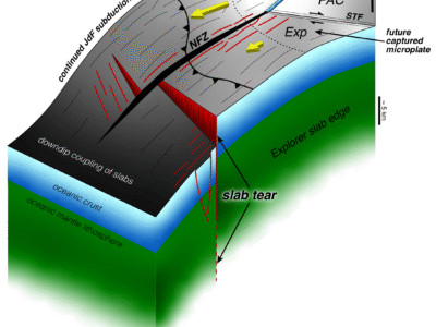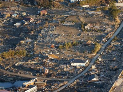
Two tectonic plates converge along a 2,500-kilometer-long subduction zone offshore southern Alaska. Stress builds up at the contact between these plates, which is released in large, destructive earthquakes like the recent event offshore Japan. One of the big conundrums about these settings is how large of an area locks up on the contact between these plates (called the ‘megathrust’) and then moves suddenly in earthquakes. To tackle this question, my colleagues and I will be collecting data on land and at sea this summer to produce an image of the megathrust, constrain the properties of rocks around and within the megathrust and link these fault properties to the earthquake history.
Imaging a major fault boundary that lies tens of miles under the seafloor is not an easy task, but we have exceptional tools for the job. We will use sound waves to essentially make a sonogram of the upper part of the earth offshore Alaska. The R/V Marcus G. Langseth is a research vessel designed especially for this purpose. An array of airguns towed behind the ship produces sound waves that travel down through the earth and back again. We record these returning sound waves on a variety of very sensitive instruments: two five-mile-long cables filled with pressure sensors that are also towed behind the ship, seismometers placed on the seafloor and seismometers onshore around the Alaska peninsula. Collecting all of these data requires a lot of manpower: a team of scientists and students from Lamont-Doherty Earth Observatory of Columbia University, Dalhousie University and the University of Oklahoma will work together to get the job done.

Our expedition will focus on a particularly interesting area off of the Alaska Peninsula. Some areas of the plate boundary here lock up and then rupture catastrophically in big earthquakes, while in other areas, the plates appear to be smoothly sliding by each other and thus do not produce great earthquakes. The Semidi segment last ruptured in a great earthquake (magnitude 8.2) 73 years ago in 1938. This area has an estimated recurrence interval of about 50 to 75 years, and thus might be due to produce another big earthquake soon. It lies just west of the area that produced the second largest earthquake ever recorded in 1964. However, just to the west lies the Shumagin gap, an area that has not produced a great earthquake historically. Our study will provide new insights into how this megathrust (and other similar tectonic settings around the world) work. Stay tuned…


[…] of the core objectives of our project is to image the part of the plate tectonic boundary that locks up and then ruptures to produce […]