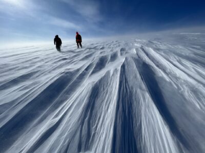
While much of the world is planning for flooding and inundation from changes in sea level, Greenland is facing a much different future. Since the last glacial maximum, about 20,000 years ago, Greenland has been shedding ice, sending it into the surrounding ocean. For much of the world, this has translated into rising sea levels along coastlines, but for Greenland there is a different effect.

Two processes combine to cause sea levels around Greenland to fall as the ice continues to melt. The first is caused by a reduction in the weight of the ice sheet that has for thousands of years been pushing down on the land. As the weight is removed, the land slowly rises back up and coastlines pull up out of the water, a geologic process called isostatic rebound. The second effect is caused by the ocean’s attraction to the large ice sheet. The ice pulls the water towards it with a gravitational tug that raises sea level around Greenland’s coast, but as the size of the ice shrinks, so does this attraction, causing the ocean to fall away and sea level to lower. For both of these reasons, Greenland’s coastlines will rise.

Like many regions of the world, the people of Greenland settled on the waterfront, and the ocean is a major resource used for fishing, hunting and transit. Yet unlike most of the rest of the world, thick ice still dominates the landscape covering over 80 percent of the country, leaving the coastal region as the only area available for settlement. Therefore the change in Greenlanders’ waterfronts will affect every part of their lives, their ports, their travel and the natural habitats they rely on for food.

Quantifying and understanding sea level changes and using this information to help Greenland plan for its future is the goal behind “Greenland Rising/Kalaallit Nunaat qaffappoq,” a National Science Foundation–funded collaborative project of Lamont, the Greenland Institute of Natural Resources (GINR) and local Greenland communities. Our first partner meeting was held in January in Nuuk, Greenland’s capital. Home to about 18,000 people, Nuuk is Greenland’s largest settled area and holds close to one-third of the total population. Located in the southwest of Greenland, Nuuk falls just outside the Arctic Circle and in January experiences about five hours of daylight.

January also brings an annual celebration called Culture Night, when community services and businesses throughout Nuuk open their doors to the residents to visit, explore and learn. The GINR is a favorite Culture Night stop for visitors with the halls filled with touch tanks of crabs, sea urchins and other marine residents, demonstrations of the impacts of sand mining, an augmented reality sand table, rock and mineral displays, large geologic maps of the land, and this year, a first introduction to the local residents of the Greenland Rising/Kalaallit Nunaat qaffappoq project. Over 1,700 community members came through in the three hours of the event, stopping to talk and learn about the project and our new partnership.

For our team it was a wonderful opportunity to share the project goals with the residents and to hear first hand from them what they are witnessing as a result of the impacts of climate change. The project field work will start in Nuuk this spring and summer, providing a chance to speak further with members of the community.
The Greenland Rising/Kalaallit Nunaat qaffappoq Project is a collaboration with The Greenland Institute of Natural Resources and is funded by the National Science Foundation’s Navigating the New Arctic.


Interesting background on Greenland’s unique vulnerability to climate-related changes. Thank you!