State of the Planet

News from the Columbia Climate School

Earthquakes14

  • Hiron Point in Sundarban

    Hiron Point in Sundarban

    We traveled by boat to the south part of the Sundarbans near the Indian Ocean to install a GPS at Hiron Point, this isolated facility also hosts a tide gauge recording long-term water level changes due to rising sea level and land subsidence. Our GPS will help distinguish how much of each there is in…

  • Polder 32

    Polder 32

    Polder 32 is one of the many inland islands in Bangladesh that was enclosed by an embankment to protect it from flooding. When that embankment failed during Cyclone Aila in 2009, the island was flooded for almost 2 years. Subsidence of the ground inside the embankment with no sedimentation to compensate made it worse. We…

  • Khepupara to Kokilmoni

    Khepupara to Kokilmoni

    Leaving Dhaka, we spend an entire day getting to Khepupara in southern Bangladesh. Then we spent a long morning installing a GPS to monitor subsidence of the delta before heading back on the road again.

  • To Comilla and Back

    To Comilla and Back

    I’ve just arrived back in Bangladesh with an engineer to install 6 new GPS stations to add to our studies of earthquake hazards and land subsidence. Our first stop was Comilla University, the westernmost exposed fold of the collision between the Ganges-Bramaputra Delta and the Sumatra-Andaman-Burma plat boundary.

  • Japan, Nuclear Power and the Need for Transparency

    Japan, Nuclear Power and the Need for Transparency

    A year and a half after the Great East Japan Earthquake triggered one of the worst nuclear catastrophes in recorded history, the country is now in full energy conservation mode.

  • An Interactive Map of Scientific Fieldwork

    An Interactive Map of Scientific Fieldwork

    Earth Institute scientists explore how the physical world works on every continent — over and under the arctic ice, in the grasslands of Mongolia, on volcanoes in Patagonia, over subduction zones in Papua New Guinea, and on the streets of New York City.

  • From Sendai to Rio: A Call for Action

    From Sendai to Rio: A Call for Action

    The people living on the northeast coast of Japan had learned to expect large earthquakes. But despite being one of the best-prepared nations, they were caught off-guard by the force of the March 11, 2011, earthquake and tsunami that devastated their coastline and led to the meltdown of reactors at the Fukushima nuclear power plant.

  • The Sundarbans

    The Sundarbans

    After finally reaching the Mongla and our boat, we settled into our new home. It is a similar design, but much larger than the one we used in September. As we ate dinner and explored the ship, it started the overnight journey to the southeastern part of the Sundarbans where the wildlife is most plentiful.…

  • Rivers and the Road

    Rivers and the Road

    We spent a day on the islands (chars) in the Brahmaputra River seeing the geology and talking to the residents. Then after an evening of feasting and dancing in our new Saris and lungis, we hit the road for the trip to the Sundarbans.

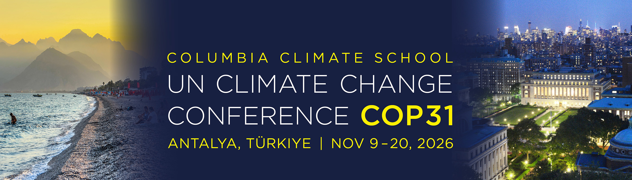
Collage of Turkiye beach scene and Columbia University Campus with text: UN Climate Change Conference COP31, Antalya, Turkiye, Nov 9-20, 2026

COP31, the 2026 United Nations Climate Change Conference, aims to advance dialogue, strengthen consensus, and accelerate climate action on a global scale. From November 9–20, 2026 in Antalya, Türkiye, heads of state, ministers, scientists, business leaders, and civil society will gather to advance efforts in emission targets, climate finance, and adaptation and resilience. Once again, our experts, students, and global thought leaders from Columbia Climate School and across Columbia University are contributing to key events, sharing insights, and helping shape the dialogue toward ambitious, science-based solutions. Learn More

  • Hiron Point in Sundarban

    Hiron Point in Sundarban

    We traveled by boat to the south part of the Sundarbans near the Indian Ocean to install a GPS at Hiron Point, this isolated facility also hosts a tide gauge recording long-term water level changes due to rising sea level and land subsidence. Our GPS will help distinguish how much of each there is in…

  • Polder 32

    Polder 32

    Polder 32 is one of the many inland islands in Bangladesh that was enclosed by an embankment to protect it from flooding. When that embankment failed during Cyclone Aila in 2009, the island was flooded for almost 2 years. Subsidence of the ground inside the embankment with no sedimentation to compensate made it worse. We…

  • Khepupara to Kokilmoni

    Khepupara to Kokilmoni

    Leaving Dhaka, we spend an entire day getting to Khepupara in southern Bangladesh. Then we spent a long morning installing a GPS to monitor subsidence of the delta before heading back on the road again.

  • To Comilla and Back

    To Comilla and Back

    I’ve just arrived back in Bangladesh with an engineer to install 6 new GPS stations to add to our studies of earthquake hazards and land subsidence. Our first stop was Comilla University, the westernmost exposed fold of the collision between the Ganges-Bramaputra Delta and the Sumatra-Andaman-Burma plat boundary.

  • Japan, Nuclear Power and the Need for Transparency

    Japan, Nuclear Power and the Need for Transparency

    A year and a half after the Great East Japan Earthquake triggered one of the worst nuclear catastrophes in recorded history, the country is now in full energy conservation mode.

  • An Interactive Map of Scientific Fieldwork

    An Interactive Map of Scientific Fieldwork

    Earth Institute scientists explore how the physical world works on every continent — over and under the arctic ice, in the grasslands of Mongolia, on volcanoes in Patagonia, over subduction zones in Papua New Guinea, and on the streets of New York City.

  • From Sendai to Rio: A Call for Action

    From Sendai to Rio: A Call for Action

    The people living on the northeast coast of Japan had learned to expect large earthquakes. But despite being one of the best-prepared nations, they were caught off-guard by the force of the March 11, 2011, earthquake and tsunami that devastated their coastline and led to the meltdown of reactors at the Fukushima nuclear power plant.

  • The Sundarbans

    The Sundarbans

    After finally reaching the Mongla and our boat, we settled into our new home. It is a similar design, but much larger than the one we used in September. As we ate dinner and explored the ship, it started the overnight journey to the southeastern part of the Sundarbans where the wildlife is most plentiful.…

  • Rivers and the Road

    Rivers and the Road

    We spent a day on the islands (chars) in the Brahmaputra River seeing the geology and talking to the residents. Then after an evening of feasting and dancing in our new Saris and lungis, we hit the road for the trip to the Sundarbans.