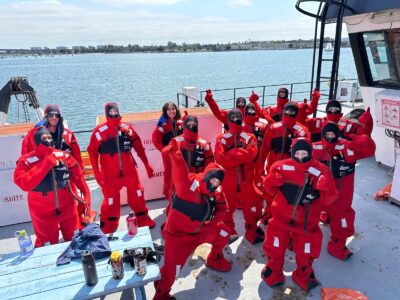
The research vessel Marcus G. Langseth sails the world exploring oceans, probing the sea floor and the layers beneath. The ship is operated by the Lamont-Doherty Earth Observatory, part of the Earth Institute, and funded by the National Science Foundation.
A new video produced by Columbia University tells the story of what the Langseth is all about: collecting data about sediments, subduction zones and other geologic features. The work helps researchers generate 2D and 3D maps of what’s below the seafloor, and to better understand the dynamics of Earth’s tectonic plates, our climate and other Earth systems.
The State of the Planet blog has run several accounts from Langseth expeditions. For more, read on and explore the links:
Scientists on the Langseth sailed off the U.S. East Coast last summer to map the seafloor—land long ago reclaimed by sea level rise.
In 2014, research from an earlier cruise was published showing that the volcanic plumbing at mid-ocean ridges goes far deeper than previously thought.
Scientist Jim Gaherty wrote from a 2013 cruise into the remote Pacific Ocean to study tectonic plates.
Pratigya Polissar and others reported from a 2012 expedition in the central Pacific Ocean sampling ancient sediments to see how El Niño and climate varied in the past.
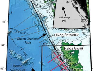
That same year, Suzanne Carbotte, Geoff Abers and others wrote about a cruise to study the Cascadia subduction zone off the coast of British Columbia, Washington and Oregon.
Donna Shillington reported in from the Langseth during a voyage to the Aleutians in 2011.


